What’s happening
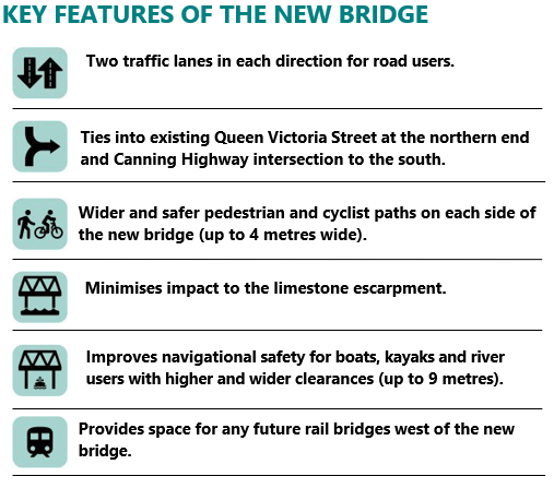
All 46 beams installed on the new bridge
On 11 June, 2026, the final T-Roff beam was installed on the southern end of the new bridge, marking a major project milestone. Despite major logistical challenges and space constraints, the beam installation program has been achieved on-time, paving the way for road construction works.
Concrete pours for the bridge deck are 80% complete – seven out of nine pours have been achieved, with the final two scheduled for July. Road barrier installation will start in coming weeks, followed by surfacing works, including primer, sealing and asphalt to create the new road. These activities are weather dependent, and rainfall may impact timing of some construction work. For more information on the progress of the project, please view our latest Project Update.
Bridge now closed - rethink the way you travel
The Fremantle Traffic Bridge is now closed to traffic while we complete major works, including removing the old bridge, installing the new bridge deck and building the new road. While the closure is for up to 12 months, the construction schedule will be reviewed and the program expedited where possible.
Transport options during bridge closure
The State Government has announced a series of measures to make it easier for people to consider alternative modes of travel during bridge closure. These include:
- Additional train and bus services.
- Additional free parking bays for SmartRider users.
- Cheaper public transport, through the introduction of the new flat fare.
For more information, please view our latest Fact Sheet. These measures have also been informed by consultation with local primary and secondary schools, other key stakeholders and the wider community.
Public Transport
The Public Transport Authority (PTA) has created a dedicated webpage with information about public transport changes during closure, including maps and timetables. Please visit the Fremantle Traffic Bridge Closure webpage for more details
Pedestrians and Cyclists
WestCycle has created a webpage with key information (including wayfinding) for pedestrians and cyclists specifically during the closure. Please visit the Fremantle Traffic Bridge Closure webpage for more information.
How you can help
We strongly encourage road users to examine how and when they travel through the area. This includes consideration of public transport, travelling outside of peak, examining your choice of route and travel patterns, and talking to work colleagues about flexible work arrangements and carpooling.
Every car journey saved will help keep Fremantle moving and reduce delays on Stirling Highway.
Road Network changes to support bridge closure
Traffic modelling shows that the closure of the bridge will have a severe impact on the road network with commuters likely to experience delays. As a result, some temporary network modifications are essential to keep traffic moving during the closure.
The proposed changes are explained in detail in our Road Network Changes Fact Sheet and our interactive map below.
All changes will be in place from 1 February 2026 until completion of the project.
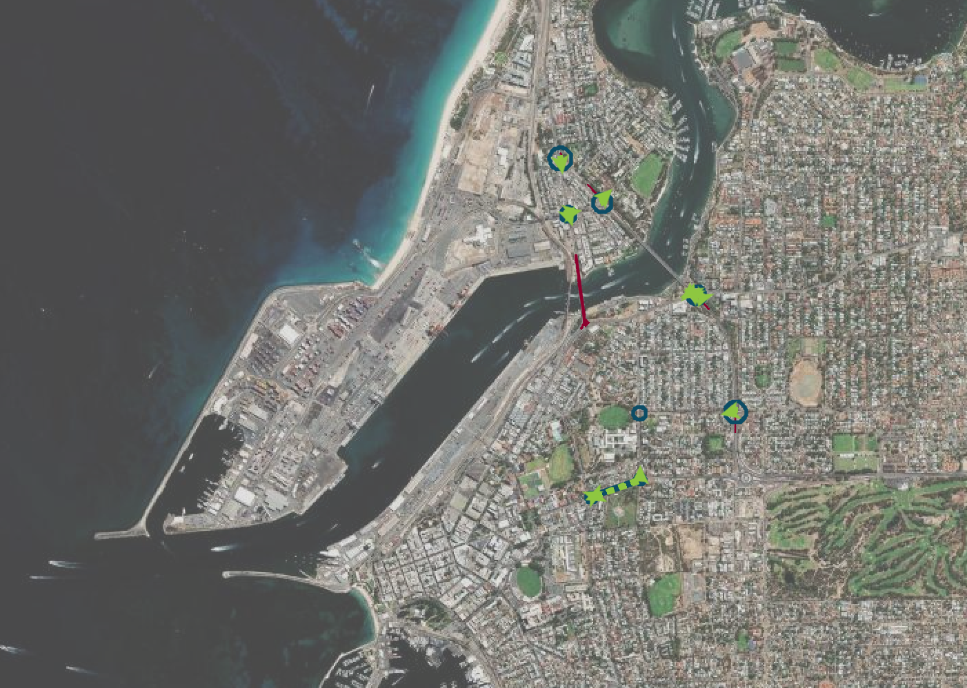
Interactive Map
Explore the road network changes »Road Network Changes - Frequently Asked Questions
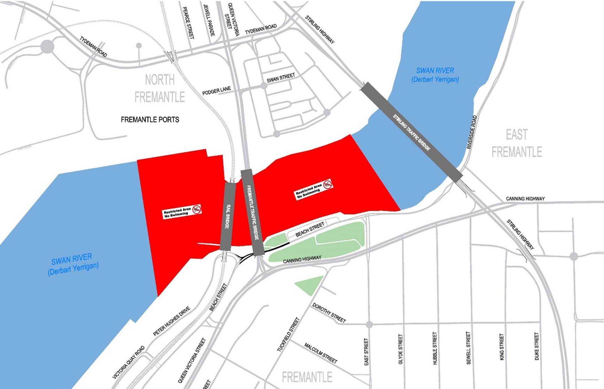
River restrictions for temporary jetty removal - April-September 2026
Temporary jetties used during construction will need to be removed in coming months. This requires in-river vibratory piling to extract the temporary piles. This process will generate noise, which will be amplified underwater.
Removal of the temporary jetties is expected to commence in April 2026 and continue intermittently to September 2026. Most works will occur between 7am and 7pm from Monday to Saturday.
Restrictions are needed to ensure members of the public and pets are not exposed to heightened levels of underwater noise, including:
- Swimmers and passive craft users will not be able to access the water for activities between the Port to east of the Fremantle Traffic Bridge. Prohibited recreational activities include:
- Swimming
- Snorkelling
- Scuba Diving
- Dogs in Water
- Passive Craft:
- Stand-Up Paddle
- Kayaking
- Rowing
- Hydrofoil
- Other watercraft, including inflatables.