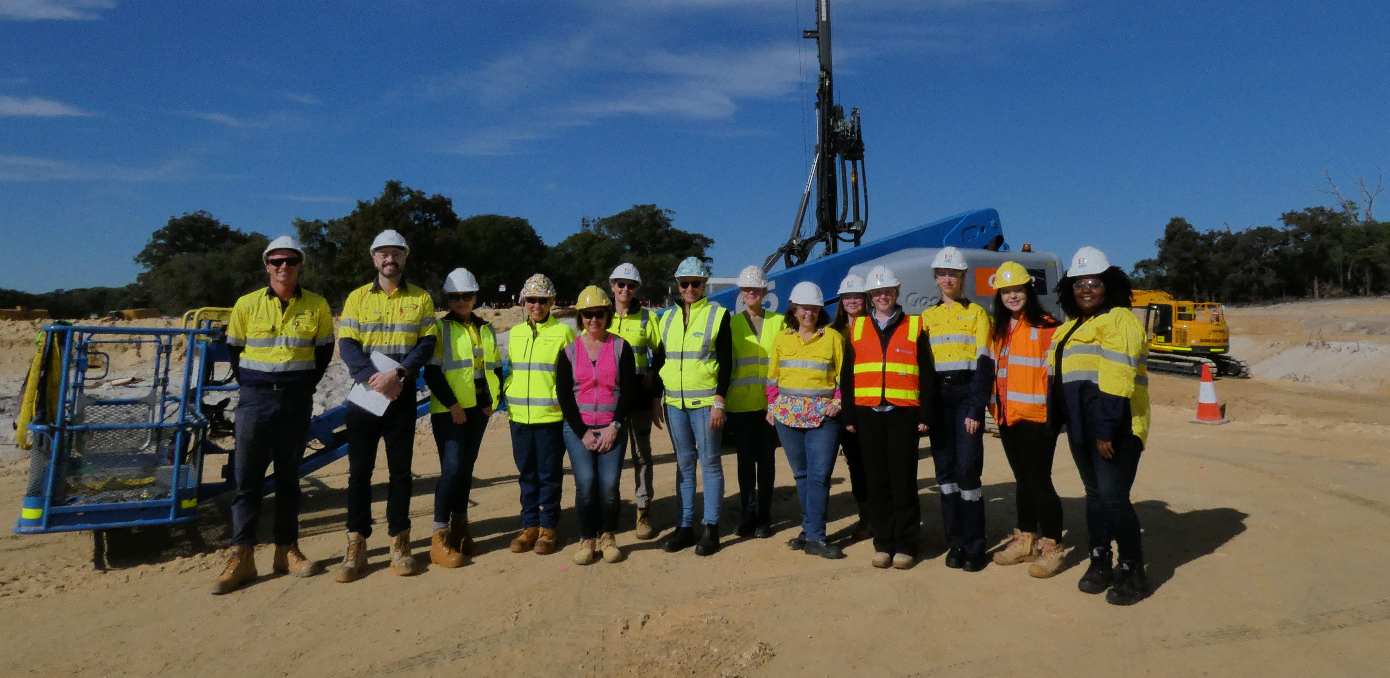
Bunbury Outer Ring Road

Under constructionUnder Construction

A 27-kilometre four-lane, high standard road linking Forrest Highway to Bussell Highway. The project will be delivered in three sections to ease congestion and provide safer, more efficient traffic routes for freight, tourists, and locals.

Image of National Association of Women in Construction (NAWIC) representatives visiting the BORR site

What's Happening

Wilman Wadandi Highway is Open: Temporary Traffic Management and Road Closures.

The Wilman Wadandi Highway is now open! This is a major milestone for the South West region. There are a range of temporary traffic measures and closures currently in place in some areas and works that will be ongoing in early 2025.

Key Traffic Updates:

  • Wilman Wadandi Highway intersections at Discovery Road and South Western Highway: Intersections under active traffic management.
  • Temporary Road closures:
    • Golding Crescent: for pavement works.

Ongoing works into 2025:

  • Pavement and kerbing works at Harris Road and Martin-Pelusey Roads.
  • Finishing works to roundabouts and intersections, including Discovery Road, South Western Highway (south) and Willinge Drive/Lillydale Road roundabout.
  • Installation of permanent signage.
  • Completion of portions of the shared pedestrian and cycle path along Willinge Drive.
  • Artwork on noise walls near South Western Highway (north) interchange and Harris Road.

During this time, please pay attention to on-road signage, and detour instructions that are in place to help motorists navigate these changes safely. Expect some delays as motorists and the community in general familiarise themselves with the new routes, detours, traffic managed areas and traffic flow may take time to stabilise. 

For residents adjacent to the new alignment, the project team will be providing regular updates regarding any localised impacts in your areas. if you have concerns or need further information, please contact the Main Roads Customer Information Centre at 138 138 or email us at enquiries@mainroads.wa.gov.au.

Remember to subscribe for the latest updates, visit our dedicated Facebook page, and check out the Travel Map.

  • placeh

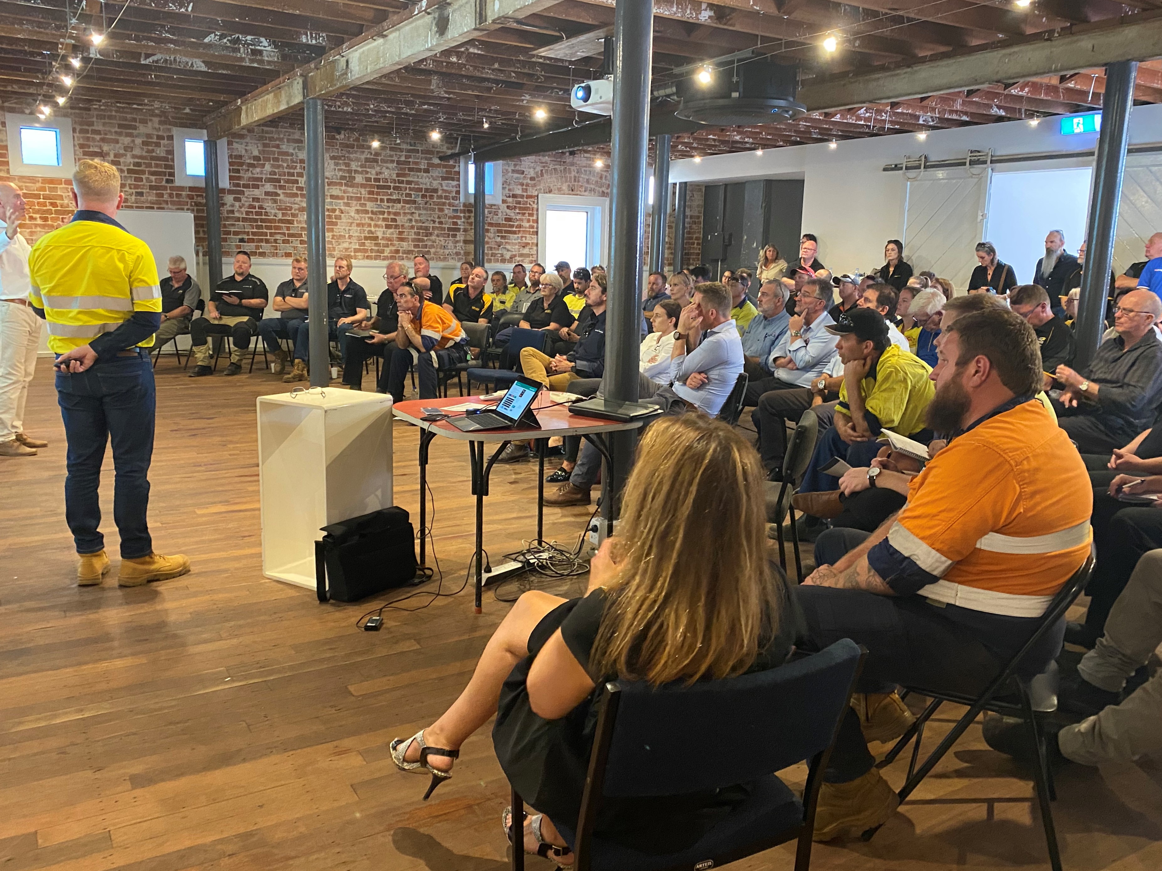
    Working with local businesses on the Bunbury Outer Ring Road project

    Learn more »

Planning & Alignment

Flora, Fauna and Environment

Roadworks

Ongoing Roadworks

Bussell Highway between Grevillea Road and Lakes Road, Stratham
12 May to mid-June 2025, 7am to 7pm
  • single lane closures to conduct sealing, asphalting and line marking activities.
  • speed reductions to 60km/h during works
  • Map
  • Travel Map
Raymond Road interchange
From 8 May 2025 until 16 May 2025, 24/7 closure
  • Temporary closure northbound off-ramp from the Wilman Wadandi Highway to Raymond Road
  • Detour via South Western Highway and Raymond Road.
  • Map
  • Travel Map
Paris Road and Clifton Road interchange
From 7 May 2025 until 9 May 2025, 7pm to 7am
  • Westbound lane closures on the interchange
  • Traffic will operate in a single eastbound lane
  • Forrest Highway access via Paris Road, The Promenade and Grand Entrance
  • Map
  • Travel Map

Jilley Road, Gelorup
28 April until mid-May 2025

  • Intermittent single lane closures
  • 7am until 5pm Monday to Saturday
  • Speed reduction to 40km/h
  • Map
  • Travel Map
Golding Crescent
4 December 2023 to May 2025 - 24/7 closure 
  • Golding Crescent temporarily closed between Martin-Pelusey Road and Copplestone Road
  • Travel Map

Banksia Road at Eucalypt Drive
27 March to end May 2025

  • Temporary road closure.
  • Detours via Bussell Highway, Gelorup Rise, and Yalinda Drive
  • Map
  • Travel Map
Treendale Road, Roelands
9 April to 12 May 2025, 24/7
  • Temporary road closure
  • Access via the eastern connection with Raymond Road
  • Map
  • Travel Map 
Bussell Highway, near Grevillea Road
Until 30 June 2025, Monday to Saturday excluding public holidays
  • Temporary fast lane closures.
  • Speed limit reduced to 60km/h.
  • Map
  • Travel Map 
Grevillea Road, near Calinup Road
15 April 2025 to May 2025, 24/7
  • Temporary closure of a portion of the northbound lane.
  • 24/7 traffic signals.
  • Speed limit reduced to 40km/h.
  • Map
  • Travel Map
Community seated, listening to the project team at an information session

Business Hub

Learn more »
Native plants

Environment

Learn more »
27 km

key transport corridor

Safer

local roads

Improved

traffic flow

Page last reviewed:  | Last updated: 

Acknowledgement of country

The Government of Western Australia acknowledges the traditional custodians throughout Western Australia and their continuing connection to the land, waters and community. We pay our respects to all members of the Aboriginal communities and their cultures; and to Elders both past and present.

Tell us what you think

Help us improve our website by sharing your thoughts and suggestions.

Provide feedback