What's Happening
Wilman Wadandi Highway is Open: Temporary Traffic Management and Road Closures.
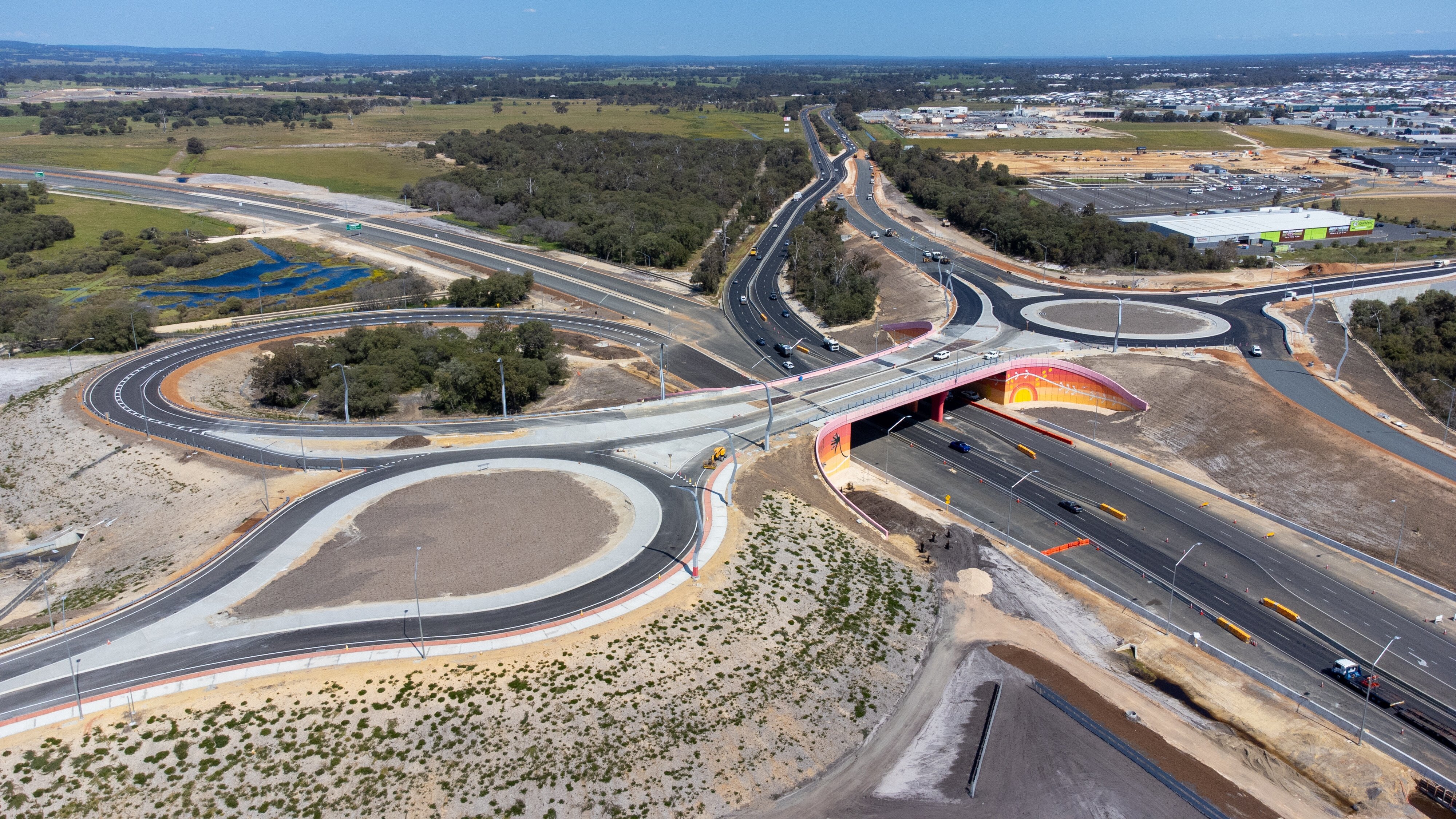
The Wilman Wadandi Highway is now open! This is a major milestone for the South West region. There are a range of temporary traffic measures and closures currently in place in some areas and works that will be ongoing in early 2025.
Key Traffic Updates:
- Wilman Wadandi Highway intersections at Discovery Road and South Western Highway: Intersections under active traffic management.
- Temporary Road closures:
- Golding Crescent: for pavement works.
Ongoing works into 2025:
- Pavement and kerbing works at Harris Road and Martin-Pelusey Roads.
- Finishing works to roundabouts and intersections, including Discovery Road, South Western Highway (south) and Willinge Drive/Lillydale Road roundabout.
- Installation of permanent signage.
- Completion of portions of the shared pedestrian and cycle path along Willinge Drive.
- Artwork on noise walls near South Western Highway (north) interchange and Harris Road.
During this time, please pay attention to on-road signage, and detour instructions that are in place to help motorists navigate these changes safely. Expect some delays as motorists and the community in general familiarise themselves with the new routes, detours, traffic managed areas and traffic flow may take time to stabilise.
For residents adjacent to the new alignment, the project team will be providing regular updates regarding any localised impacts in your areas. if you have concerns or need further information, please contact the Main Roads Customer Information Centre at 138 138 or email us at enquiries@mainroads.wa.gov.au.
Remember to subscribe for the latest updates, visit our dedicated Facebook page, and check out the Travel Map.
Ongoing Roadworks
- New U-turn and slip lane on Bussell Highway at the intersection of Grevillea Road opens
- Map
- Travel Map
- Intermittent short-term lane closures for landscaping, quality inspections and minor finishing works.
- Speed limit reduced to 60km/h.
- Locations include:
- Wilman Wadandi Highway, between Paris Road and Grevillea Road
- Raymond Road, between Tern Place and Treendale Road
- South Western Highway North, between Discovery Road and Litmus Road
- Discovery Road, between Wilman Wadandi Highway and Fusion Road
- Golding Crescent, between Martin-Pelusey Road and Boyanup Picton Road
- Willinge Drive, between Lillydale Road and South Western Highway South
- Lillydale Road, between Bussell Highway and South Western Highway South
- Jilley Road, between Lillydale Road and Woods Road
- Yalinda Drive, between Cokelup Road and Woods Road
- Bussell Highway, between Lillydale Road and Grevillea Road
- Single lane closures to enable median finishing works, quality inspections and service works.
- Speed reductions to 60km/h during works
- Map
- Travel Map

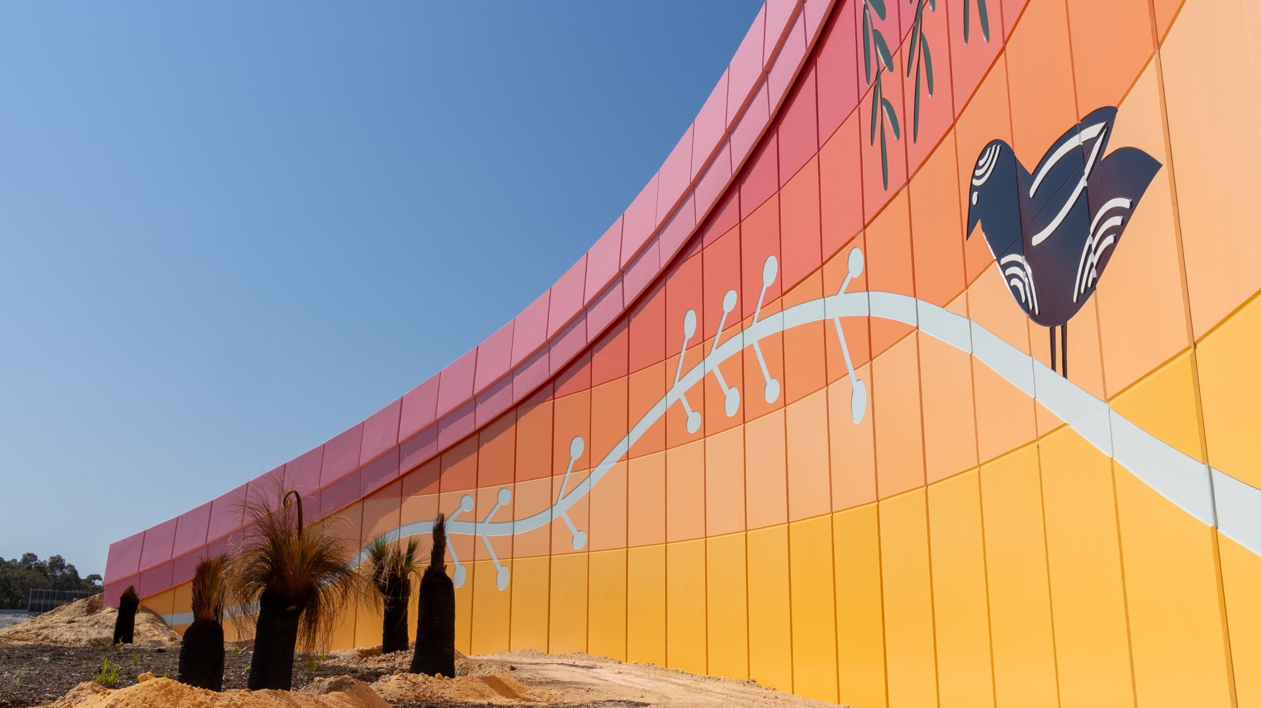
Understanding ‘To Stalk the Horizon’ - the Harris Road Mural
Designed by Joanna Brown, the noise walls at the Harris Road shared path crossing of the Wilman Wadandi Highway will feature a unique artwork which ties into the project’s Urban Design Strategy.
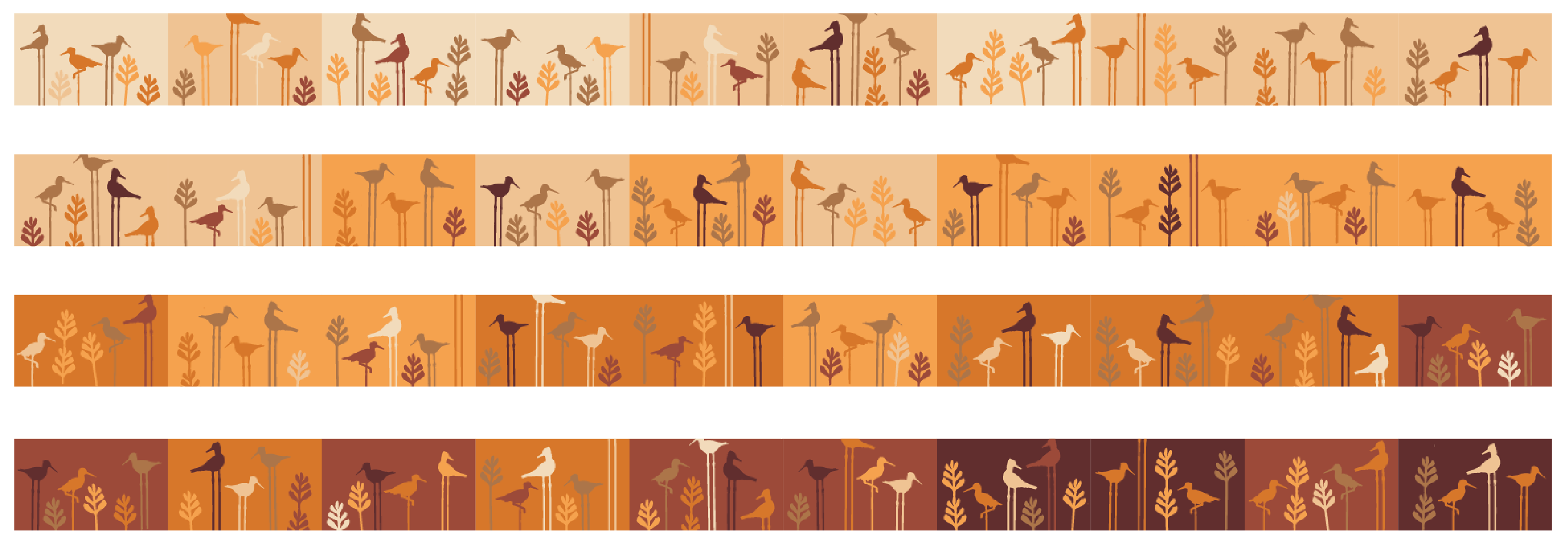
The Moore Road Mural – A tribute to local landscapes and culture
The Moore Road Mural is the latest public art commission for the Wilman Wadandi Highway (the Bunbury Outer Ring Road project), capturing the essence of the area, and Bunuru, the driest of the Noongar seasons through a rich yet minimalist narrative.
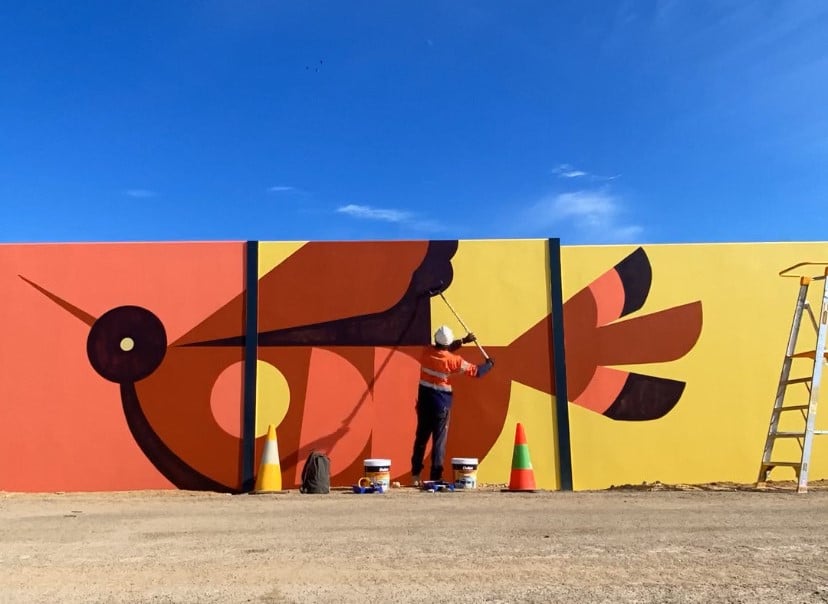
Introducing ‘Transition’ – the latest artwork to be unveiled on the Wilman Wadandi Highway
Designed and painted by Kyle Hughes-Odgers, the screen walls on the northern side of the mega-bridge will feature a unique design which ties into the project’s Urban Design strategy.
Discover the Wilman Wadandi Highway
Safer, easier and more reliable trips through the South West are almost here.
Planning & Alignment
Flora, Fauna and Environment

key transport corridor
local roads
traffic flow