What’s happening
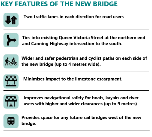
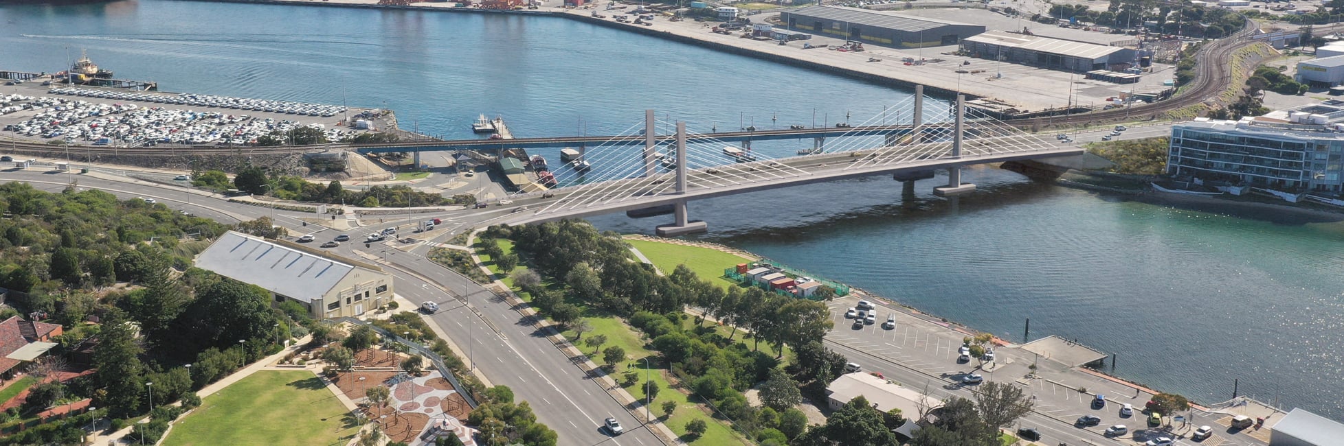
New Fremantle Traffic Bridge to open on 1 November 2026
The community is invited to walk across the new Fremantle Traffic Bridge before it officially opens to traffic and enjoy a free family-friendly festival with a sausage sizzle, activities and entertainment. To help plan catering, transport and festival activities, please register your attendance below.
Sunday 1 November 2026
9am – 1pm
Walk the bridge - Walk across the new Fremantle Traffic Bridge throughout the morning, with access from the north or south.
Enjoy the festival - Head to the Festival Hub under the bridge on Beach Street for free family-friendly entertainment.
Getting there - There is no event parking. We encourage you to walk, wheel or ride to the event; bike racks will be available to safely store your bike.
Every Sunday, travel is free for all SmartRider and contactless payment travellers. Catch the train to North Fremantle or Fremantle station and enjoy a 15-minute walk to the new bridge. A free shuttle bus will also run from Fremantle Station.
Coming to the Fremantle Traffic Bridge community event?
Register nowLighting program testing continuing
Finishing works will continue on the bridge and surrounding area after the opening, and the feature lighting program will be finalised during that time. Testing started in mid-September and will continue after the bridge opens.
An innovative and unique program of architectural and feature lighting has been prepared to celebrate stories of the crossing that date back thousands of years, reflecting four broad heritage themes:
- The cultural and spiritual significance of the river landscape.
- The history of engineering innovation and river crossings (bridges).
- The river crossing as a gateway between north and south of the river.
The signals and markers that have guided movement along the river for generations.
Road Network Update
Following the bridge opening, the temporary road network changes made prior to the bridge closure will be lifted, including access to and from Fremantle via Canning Highway, and other initiatives that helped keep the network flowing during closure.
Transport options during bridge closure
The State Government has announced a series of measures to make it easier for people to consider alternative modes of travel during bridge closure. These include:
- Additional train and bus services.
- Additional free parking bays for SmartRider users.
- Cheaper public transport, through the introduction of the new flat fare.
For more information, please view our latest Fact Sheet. These measures have also been informed by consultation with local primary and secondary schools, other key stakeholders and the wider community.
Public Transport
The Public Transport Authority (PTA) has created a dedicated webpage with information about public transport changes during closure, including maps and timetables. Please visit the Fremantle Traffic Bridge Closure webpage for more details
Pedestrians and Cyclists
WestCycle has created a webpage with key information (including wayfinding) for pedestrians and cyclists specifically during the closure. Please visit the Fremantle Traffic Bridge Closure webpage for more information.
How you can help
We strongly encourage road users to examine how and when they travel through the area. This includes consideration of public transport, travelling outside of peak, examining your choice of route and travel patterns, and talking to work colleagues about flexible work arrangements and carpooling.
Every car journey saved will help keep Fremantle moving and reduce delays on Stirling Highway.
Road Network changes to support bridge closure
Traffic modelling shows that the closure of the bridge will have a severe impact on the road network with commuters likely to experience delays. As a result, some temporary network modifications are essential to keep traffic moving during the closure.
The proposed changes are explained in detail in our Road Network Changes Fact Sheet and our interactive map below.
All changes will be in place from 1 February 2026 until completion of the project.
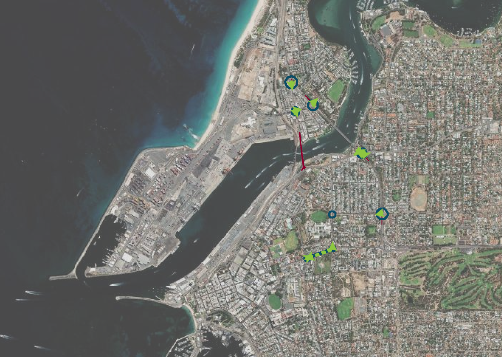
Interactive Map
Explore the road network changes »Road Network Changes - Frequently Asked Questions