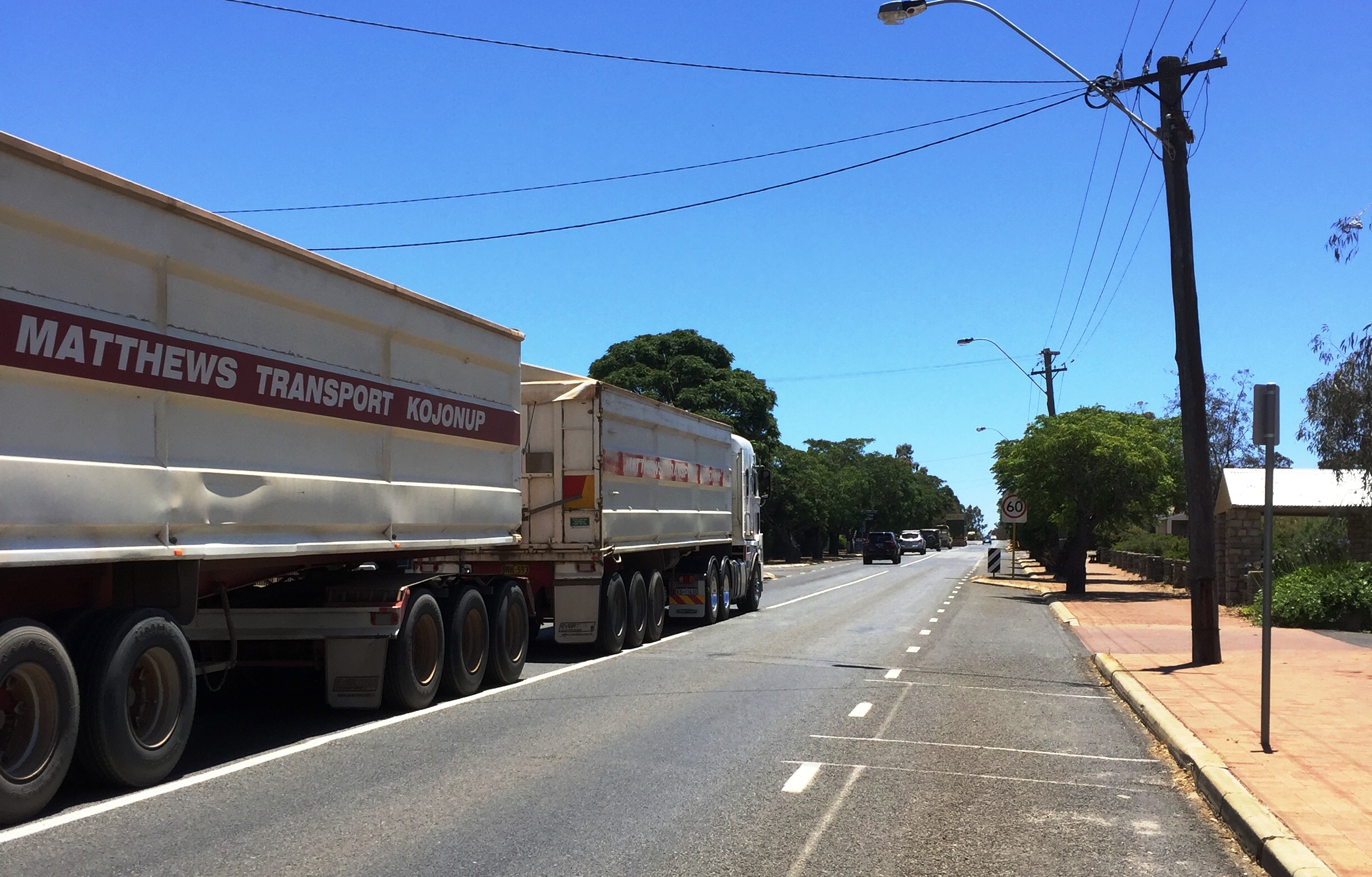
As part of the early planning process, a number of options to the east and west of the town were considered.
Western routes were not chosen because they would sever existing rural properties and a planned residential area from the town centre. This would significantly affect local recreational facilities and environmentally sensitive areas. It would have a greater effect on Kojonup's passing trade and be prohibitively expensive.
An eastern route, with two possible northern links to the town, was identified in consultation with the Shire of Kojonup for presentation to the community and stakeholders for feedback. This route offers the desired freight efficiency, has less development constraints and minimises any social and environmental impact.
The Shire of Kojonup broadly supported the recommended corridor, and we will continue to liaise with the Shire into the future. The comments and concerns raised by stakeholders during consultation have been noted and will be addressed during detailed planning as part of the Alignment Definition phase.
This will include further consultation with affected landowners and stakeholders along with:
- Survey, environmental and heritage field work and assessments
- Hydrological and surface water studies
- Geotechnical and groundwater survey and concept design
heavy vehicles from other traffic
safety in the area
