Why does Charles Street need a plan?
Charles Street is an important primary regional road and high priority public transit corridor linking the Perth CBD to suburbs in the north of Perth. It also connects road users to Kwinana and Mitchell Freeways, Scarborough Beach Road and Wanneroo Road.
Charles Street is already under pressure from nearby residential and commercial re-development, as well as increases in Perth’s growing population and regional traffic demands. With high traffic volumes through sections of Charles Street, and a number of major intersections constricting traffic flows, extended periods of peak traffic congestion have become common.
A plan is needed that will cater to Perth’s growing population and residential and commercial developments, and additional public transport and regional transport needs.
Safety concerns, extensive travel delays, disruptions from increased noise, especially during peak traffic conditions on Charles Street, are compounding community issues. High-volume movements of people and goods will make the road more and more difficult for pedestrians and cyclists to cross and negotiate safely.
We want to improve the Charles Street corridor to provide benefits for the surrounding neighbourhood. The concept offers safer and more convenient movements for locals, people from all over Perth and travellers far and wide, while improving accessibility, mobility, transport choice and urban amenity.
What is the concept?
The concept includes:
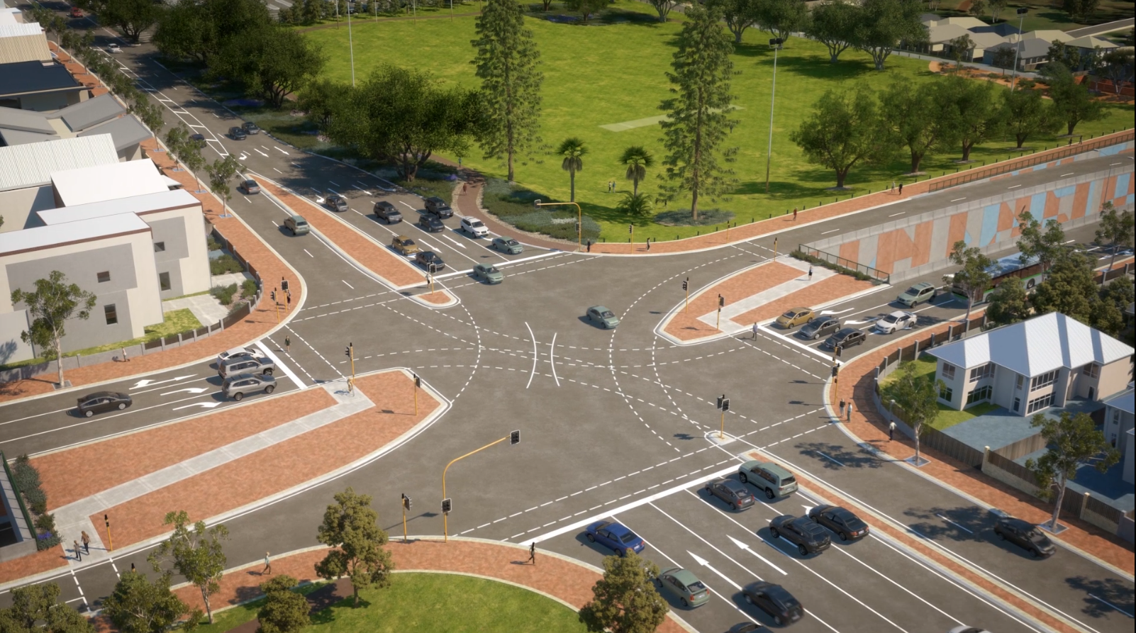
- A series of short vertical bypasses at each major intersection (“duck and dives”) that take regional through-traffic below-ground and out of intersections, improving safety and efficiency. The concept shows vertical bypasses at Vincent Street, Scarborough Beach Road/Angove Street and Green Street/Walcott Street/Wiluna Street
- Full movement intersections at Vincent Street, Scarborough Beach Road/Angove Street and Green Street/Walcott Street/Wiluna Street remaining at surface level to provide connectivity and better east-west movements for local traffic and operating grade-separated from regional traffic
- A dedicated south bound lane for buses between the vertical bypasses to prioritise public transport
- Pedestrian and cyclist crossing facilities at major intersections and some other locations to safely connect communities
- Areas for paths, landscaping and public amenities with minimal land impacts.
When will properties be acquired to facilitate construction of the concept?
This is a planning study only to inform future development and there is no current need to acquire land. Funding is not available to undertake land acquisition as this is usually provided by Government as part of construction funding. Before this happens, a number of other steps are required, including project development, which will provide a better indication of land impacts as the concept is further refined.
Furthermore, in response to community concerns regarding this aspect of planning received to date, Main Roads has ceased all consultation on the proposed concept and will not be seeking changes to the existing Planning Control Area.
