What's Happening
Access and Connectivity
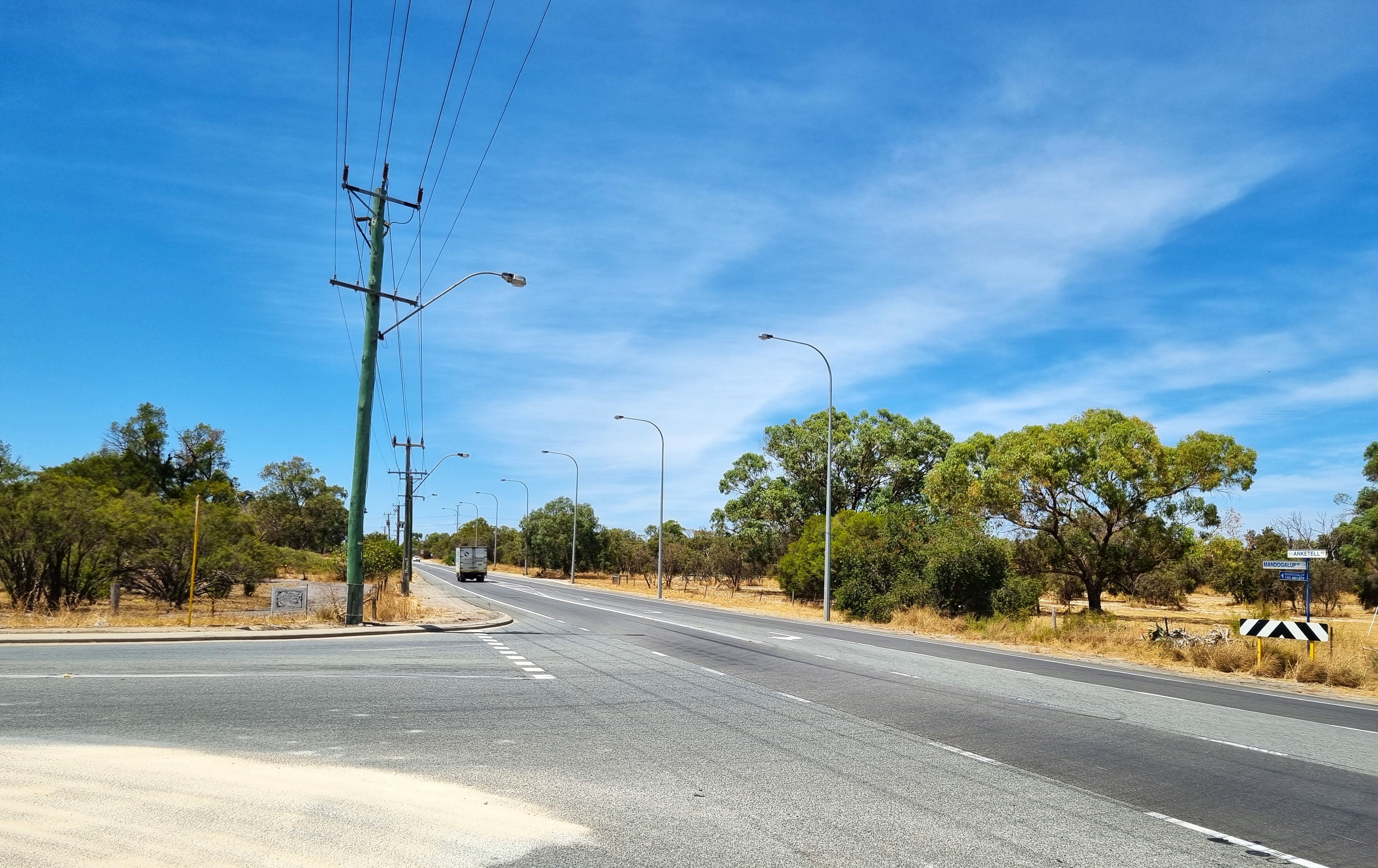
The Ultimate Design - Access and Connectivity Schematic Plan has been developed for Anketell Road between Leath Road and Kwinana Freeway in Kwinana as part of the project’s Ultimate planning.
The strategy considers how road users will connect to and move along Anketell Road in the future, and includes proposed:
- Intersection and interchange locations.
- New local roads to improve connectivity.
- Cycling and pedestrian paths.
- Access modifications.
It is part of the planning for the project’s Ultimate Design Concept - the long-term vision for the corridor. The Ultimate Design Concept looks ahead to the year 2051 and beyond and considers the requirements of the corridor to safely and efficiently support future population growth, traffic demand and land-use planning and development.
Next steps
Feedback received from our recent community drop-in session and consultation with landowners and key project stakeholders will be considered as we refine the Ultimate Design Concept in the coming months.
Once the Ultimate Design Concept is complete, Project Case planning for Anketell Road (Leath Road to Kwinana Freeway) will commence. This next stage of design development will identify the short to medium term upgrades needed to meet current and emerging road user and network requirements, aligned to the long-term ultimate vision for the corridor.
To learn more about the project’s Planning and Project Development phase, and future milestones, view our planning and project development overview and lifecycle diagram.
We make every effort to mitigate or minimise the environmental impacts of our activities.
For more information about our environmental policy, visit our Environment page.
The Anketell Road Upgrade – Leath Road to Kwinana Freeway is subject to assessment through both State and Commonwealth environmental approvals processes. The Environmental Impact Assessment process is expected to take 2-3 years from the point of referral and will include multiple opportunities for public comment.
A range of flora and fauna surveys and technical investigations underpin the project’s Environmental Impact Assessments and will inform potential design refinements and proposed mitigation measures. Main Roads will seek to further minimise and avoid impacts in the next stage of design. Any residual environmental impacts will be offset.
State environmental approvals
Main Roads referred the Anketell Road Upgrade – Leath Road to Kwinana Freeway proposal to the State Environmental Protection Authority (EPA) in March 2024. On 2 April 2024, following a public comment period on the level of assessment, the EPA determined that the project would be assessed under Section 38 of the Environmental Protection Act 1986 (EP Act) on referral information with additional information and public review.
In June 2025, Main Roads submitted additional information to the EPA in the form of a revised Referral Supporting Document (RSD) describing the project, the likely impacts on the environment, and the proposed management measures. The RSD was subject to a four-week public review period between 21 July 2025 and Monday, 18 August 2025 and is now being considered by the EPA as part of its formal assessment.
The RSD can be downloaded on the EPA’s website.
Commonwealth environmental approvals
Main Roads also referred the Anketell Road Upgrade – Leath Road to Kwinana Freeway proposal to the Commonwealth environmental regulator, the Department of Climate Change, Energy, the Environment and Water (DCCEEW), in March 2024.
DCCEEW invited public comment on the referral in July 2024. On 22 August 2024, DCCEEW determined the Anketell Road Upgrade – Leath Road to Kwinana Freeway is a ‘Controlled Action’ and will require assessment and approval before it can proceed. The project will be assessed by Preliminary Documentation. Visit the DCEEW Portal here.
Commonwealth environmental assessment public comment period
Following referral of the Anketell Road Upgrade (Leath Road to Kwinana Freeway) proposal in March 2024, the Commonwealth Department of Climate Change, Energy, the Environment and Water (DCCEEW) determined the proposed action to be a ‘controlled action’ that requires assessment in accordance with the Environment Protection and Biodiversity Conservation Act 1999 (EPBC Act).
In October 2025, Preliminary Documentation (PD) and additional supporting information was submitted to DCCEEW. The PD was released for public comment to inform DCCEEW’s assessment.
The public comment period has now closed. It was open between Wednesday, 26th November 2025 and Tuesday, 23rd December 2025.
For assistance with accessing the PD, contact us on 138 138 or enquiries@mainroads.wa.gov.au. View the Preliminary Documentation below.
Preliminary Documentation
- Anketell Road Upgrade - Preliminary Documentation
- Attachment 1 - Consolidated Biological Report
- Attachment 2 - Assessment of FCT26a Threatened Ecological
- Attachment 3 - Anketell Road Upgrade Technical Memo Communities of Organic Mounds TEC
- Attachment 4 - Anketell Road characterisation and assessment of impacts on GDEs and groundwater users
- Attachment 5 - Black Cockatoo Foraging Habitat Quality
- Attachment 6 - Black cockatoos nesting value tree survey
- Attachment 7 - Anketell Road Upgrade Targeted Chuditch Survey
- Attachment 8 - Leioproctus douglasiellus and Neopasiphae simlicior Targeted Survey
- Attachment 9 - Phytophthora Dieback Occurrence Report for Anketell Road
- Attachment 10 - Anketell Road Upgrade EPBC Offset Strategy
s156 Variation to Proposal Request
the freight network
future population needs
traffic flows and safety