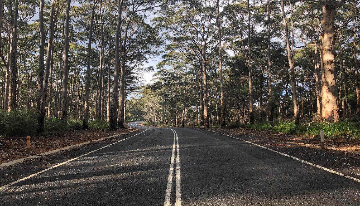
A planning study took place in 1995 to investigate whether Caves Road could be upgraded (duplicated) or whether a new road alignment should be considered. This area experiences significant congestion during holiday weekends and the summer period.
Additionally, we needed to address traffic pressures on Caves Road caused by private property access, increased local and tourist population and activity (particularly during peak seasons) and change of land use from grazing to viticulture and tourism.
A new road link will provide a better level of service, limit conflict and integrate well with existing roads and other planned roads. The study investigated several alignment options, with the “Blue” alignment being preferred.
The current study area encompasses the preferred route corridor, starting from Caves Road and Commonage Road at the western end, to Busselton Bypass and Bussell Highway at the eastern end. The link will also connect with the planned Busselton Outer Bypass.
The study involves:
- Establishment of a Project Working Group involving the City of Busselton, Department of Planning. Lands and Heritage, Department of Biodiversity and Conservation and Attractions that will have direct input into the planning work.
- Consultation with directly affected landowners and providing information to the community.
- Preparation and planning design concept for a four-lane divided highway and plans suitable for inclusion of the road reservation in the City of Busselton’s Town Planning Scheme.
- At-grade intersections will be provided at Mewett Road, Quindalup Siding Road and Chain Avenue.
- Approximately 1 km east of the Commonage Road roundabout, Caves Road will be realigned to the south to connect with the link at an at-grade intersection.
- Community and landowner consultation was completed in 2014
