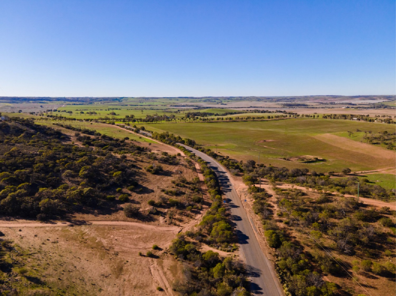
We have completed an Alignment Selection Study and confirmed a corridor for a future Dongara-Geraldton-Northampton (DGN) route. Consultation with landowners and the broader community, as well as assessments of options against social, cultural, environmental and economic criteria, have helped us confirm a route corridor alignment that will divert heavy vehicles away from regional townsites, minimise conflicts with local traffic and contribute to greater freight efficiency by enabling triple road trains to travel between Carnarvon and Muchea.
This Alignment Selection study is the culmination of many years of comprehensive planning by Main Roads and key stakeholders.
Read our latest Planning Study Update for more information on how community consultation has informed the route corridor alignment selection process.
Following State Government approval for the preferred corridor alignment, we are now transitioning to the Alignment Definition phase of the planning process. This will involve more conversations with landowners and key stakeholders and detailed planning investigations to narrow down the corridor to define a preliminary road layout (also known as ultimate planning concept design) and future road reservation.
It is important to note that this is a high-level planning study and there are currently no funds available for project development and construction. The route to the north of Geraldton is considered a priority and no construction is currently expected to be required in the section between Dongara and Geraldton in the short to medium-term.
View a graphic PDF of the confirmed DGN corridor.
View a detailed map of the confirmed DGN corridor.
Search for a property address using our interactive map of the DGN corridor.
What’s next?
As we move into the Alignment Definition phase of planning, we will begin more detailed investigations to identify the physical constraints we need to consider when planning a road layout within the preferred corridor. These typically include:
- Land surveys to map topography
- Underground drilling to identify soil types and the presence of rock and other materials
- Environmental surveys to identify areas with flora and fauna that need to be managed or preserved
- Heritage surveys to identify sites of Aboriginal or historical heritage value
Together with the information we gather from ongoing consultation with individual landowners, the outcomes of these investigations will help us define a nominally 100 metre road reservation and identify land required for the future infrastructure.
It is expected to take around three years to complete Alignment Definition, which will be underpinned by further consultation with landowners to address property-specific needs and mitigate unavoidable impacts.
Once the required road reservation has been identified, Main Roads will then seek to include it in relevant planning documentation. This will provide landowners, communities and industry with greater certainty and future direction when making planning decisions.
Read our Alignment Definition Fact Sheet.
regional traffic from local traffic
pressure on existing roads
growth in Geraldton & Mid-West region