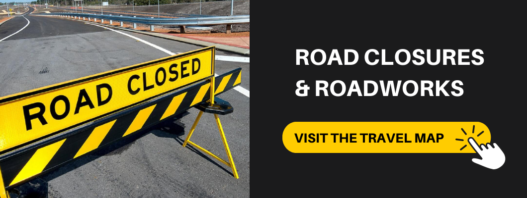
Roadworks and road closures
Find incident information on road closures, crashes, roadworks, bushfires and more with our Travel Map.
Your official source for traffic and travel information in Perth and WA
Our Travel Map contains live, up-to-date information on road closures, road conditions and incidents that may affect your travels in WA. The map is regularly updated with any current alerts, roadworks, outages and restrictions. Use the ‘plan a journey’ tool to get directions provided by Google Maps, and view current traffic with the Google traffic filter. If you're travelling down south or going on a road trip around the state, use the rest area and amenities filter to see all the toilets, picnic facilities and more along our roads.
Road closures and alerts
We are constantly improving and working on roads around Western Australia. Current roadworks and traffic impacts are listed on the Travel Map. As other incidents, such as crashes and breakdowns, occur throughout the day, we add these alerts to the map. There is also a list view for those who prefer to sort by location, last updated or type of alert.Bushfire alerts, flooding, traffic signal outages, events and detours are other additions that we update frequently to help you get to your destination safely and avoid any closures.